Éléments météo à surveiller pour l'hiver 2011-2012
Bonjour à vous chers skieurs!
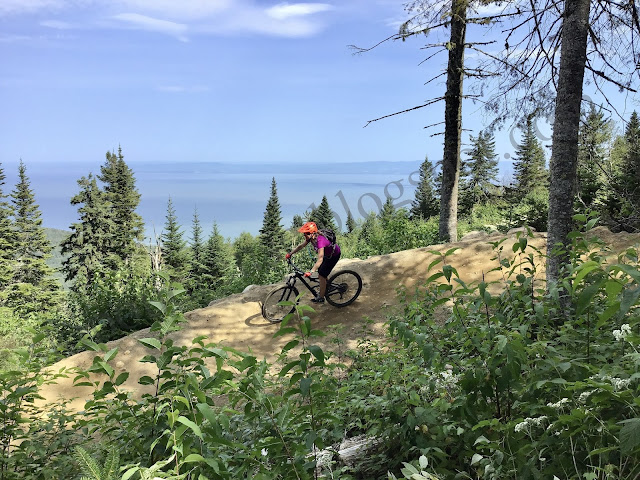
J'espère que la saison estivale aura été agréable pour vous! De notre côté on s'est affairé à remplir notre compte dans le but de passer un autre hiver sans limite sur la route à courir les tempêtes de neige. Il n'y a pas eu beaucoup d'activités sur le blog ces derniers mois car j'ai été affecté par le syndrôme de la page blanche, après notre voyage au Japon. Ce voyage m'aura fait réaliser (plus que jamais) que oui les vraies skieurs sont dans l'est du continent (car c'est ici qu'on skie sur la glace, quand il pleut, quand il fait -30, sur la neige artificielle, qu'on sort nos skis de poudreuse parce qu'il est tombé 20cm au Massif, qu'on passe de l'hiver au printemps puis on retourne à l'hiver en quelques jours), mais le vrai ski, le ski sans limite c'est vraiment pas ici qu'on le retrouve.
Donc pour nous 2 plans sont sur la table un road trip d'enfer direction Silverton Colorado, Las Vegas Nevada, Death Valley Californie, Mammoth Mountain Californie, Salt Lake City Utah et le Wyoming. Il reste encore une petite possibilité pour un retour sur l'île d'Hokkaido.
À chaque début d'automne nos experts météo sont à rassembler leurs informations dans le but de nous donner une prévision sur la saison hivernale à venir. Voici le point de vue de Bret Anderson.
We just received the latest ECMWF model seasonal forecast output into our in-house system. I will focus on what the model is forecasting for the winter of 2011/2012.
By the way, the updated ECMWF is also supporting the latest thinking that weak to moderate La Nina conditions will return for the upcoming winter, and its new forecast for North America is certainly a reflection of that.
The key once again to the winter forecast could be the possible return to strong high pressure blocking over northeastern Canada. The latest ECMWF does not show this. Last year's ECMWF forecast for the winter under La Nina conditions showed northern latitude blocking, but it was underdone with the strength of the blocking during the first half of the winter and had it in the wrong area.
There are some recent studies which show that a lack of sea ice in the northern latitudes during the late fall and early winter causes wind patterns to change, resulting in more of a blocking pattern in the north, which can mess up the typical La Nina winter pattern that you would normally expect. This in turn forces more cold farther south into southern Ontario and the eastern U.S.
Whether or not this occurs once again this winter is still in question, but one thing we do know is that sea ice extent is very close to the record low minimum of 2007 as we speak, and I am pretty confident that the annual fall/early winter freeze-up will be weeks behind schedule once again. I expect well-below-normal sea ice extent over northern Canada at least into the first half of the winter.
If the blocking does not return, then the ECMWF forecast may end up being pretty close, especially for January and February. This would mean plenty of cold for western Canada, even to the B.C. coast more than usual. It would also mean a healthy amount of snow this winter from the southeastern Prairies through central Ontario and southern Quebec. The model is predicting a warm winter from the southern U.S. Plains to the Southeast U.S.
I will issue my own preliminary winter forecast in a couple of weeks. My final forecast will be issued late in October.
-----
Here is the overall jet stream pattern that the ECMWF model is predicting for the upcoming winter.


Plus de détail météo
Commentaires